Capacity Building in Geographic Information Science (GIS) to Map Health Landscapes
![]()
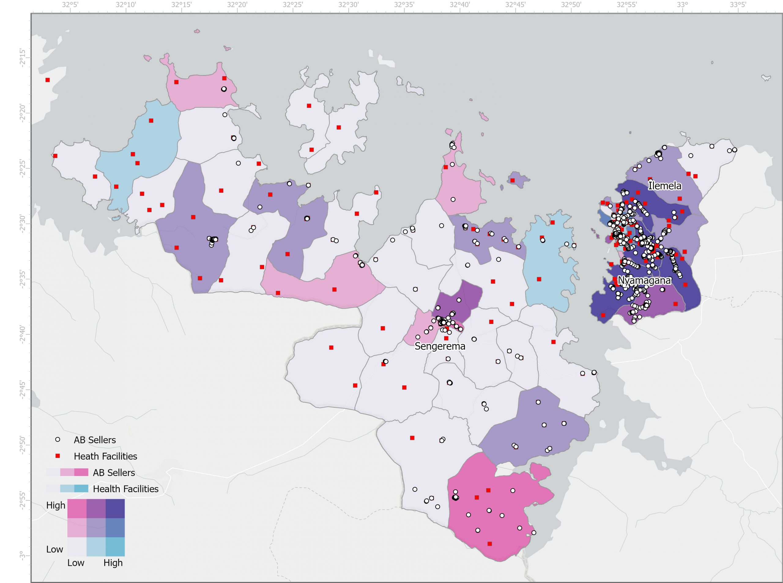
In this capacity building project, GIS specialist Fernando Benitez-Paez is training and mentoring analysts from Uganda and Tanzania on the foundational concepts of GIS (Geographic Information Systems) including content management, data exploration, visualization, and mapping. In partnership with Esri, this training has been using ArcGIS to lead geospatial analysis arising from work in HATUA and CARE. This is to ensure equitable skills partnerships. This training will also incorporate the transferable skills of the digital epidemiology tool, EpiCollect, an open access software we have discovered to not only capture primary quantitative data but also qualitative and geospatial data. The tool makes data readily available for analysis, comparison to secondary data and dissemination to stakeholders and policy makers.
Fernando Benitez | Katy Keenan | Richard Mukasa | Stella Mugassa | Msilikale-Walter Manyiri
Trainees: Richard Mukasa | Stella Mugassa | Walter Manyiri.


